Day 34 Miles 456 – 471 April 16, 2017

This morning we packed up out of Agua Dulce and hit the trail north by 8:30.

6243755872_IMG_0472

View back on Agua Dulce

6243755872_IMG_0476

We followed this reservoir today 

We were banking on the fact that there was still a trickle of water 7 miles out so that we didn’t have to start the day with 4 liters of water each. At 2.2 pounds per liter that makes your pack feel like you just shoved a baby in it. Heavy! The trail to Bear Spring, where we would learn if we were stupid or not to only carry 2 liters of water each, was straight up.

IMG_5635

Signing the registry

IMG_5662

It was already getting hot and combination of the steep elevation slowed our pace a bit, but we were rewarded with the tiniest trickle of water! We also saw more of those weird statues.

IMG_5638

This trickle will work!

IMG_5663

What is with these…?

We spent 90 minutes relaxing and filling up before getting back on trail to complete the last 8 miles of the day. It was at this time that we ran into Larry. He is hiking from Agua Dulce to Tehachapi and prepared for battle with bear spray and all. He met up with this later where we camped and we all shared our frustrations that we carried full water the last 8 miles, but there were plenty of flowing streams. We heard that those streams haven’t flowed in years and locals were surprised that they have water now. They probably won’t flow for much longer, but it would have made the last 8 miles of the day more pleasant had we known that beforehand. So…to help the people behind us, we update the water report as soon as we had service again. We had a dinner of function, not taste – instant mashed potatoes with a summer sausage. The highlight of our not was drinking got chocolate in our sleeping bags and eating cookies 😊.

6243755872_IMG_04786243755872_IMG_0474

IMG_5633

I guess they have a problem here with dropping animals…?

IMG_5661

Day 33 Miles 444-456 April 15, 2017


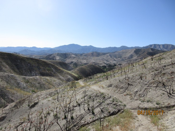
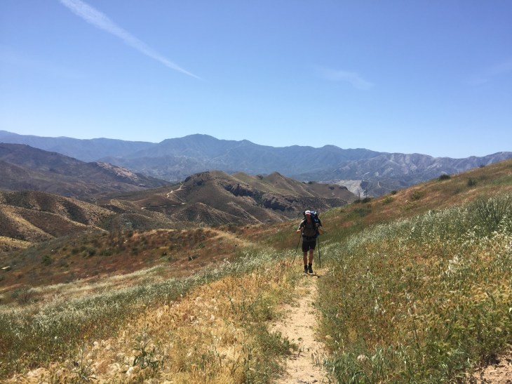
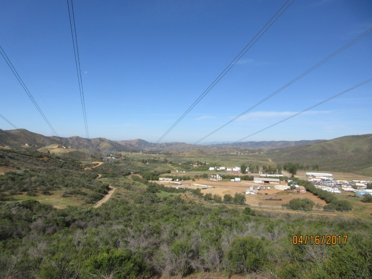
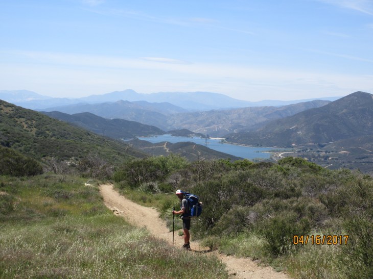
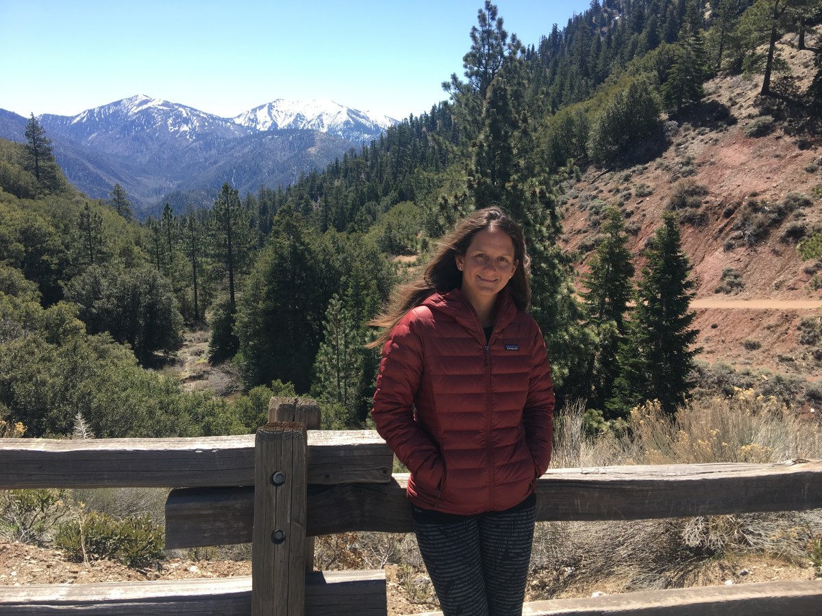
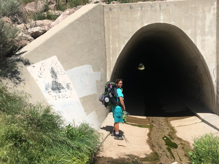
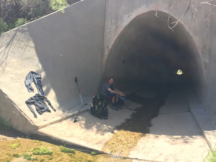
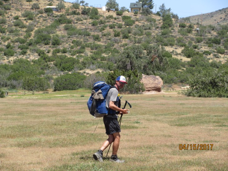
Today was a really really great day. I woke up in an exceptionally sparkly mood. We had a bunch of little adventures spread throughout our ten mile hike into Agua Dulce. The trail runs right through the town. Fortunately, this is the only time we have walked on a paved road through a town as part of the trail. We left the KOA and said see you later to Woodard, Galpal and Rockdoc. Hurricane left before we even woke up. He was really quiet. Never heard him pack up. We had to go through a drainage tunnel under the highway at one point. It offered good shade for a break at the end of it. I had rinsed some of my clothes in the sink at the KOA and still needed to dry a few so this was as good a time as any to throw them in the sun.

IMG_5658IMG_5623

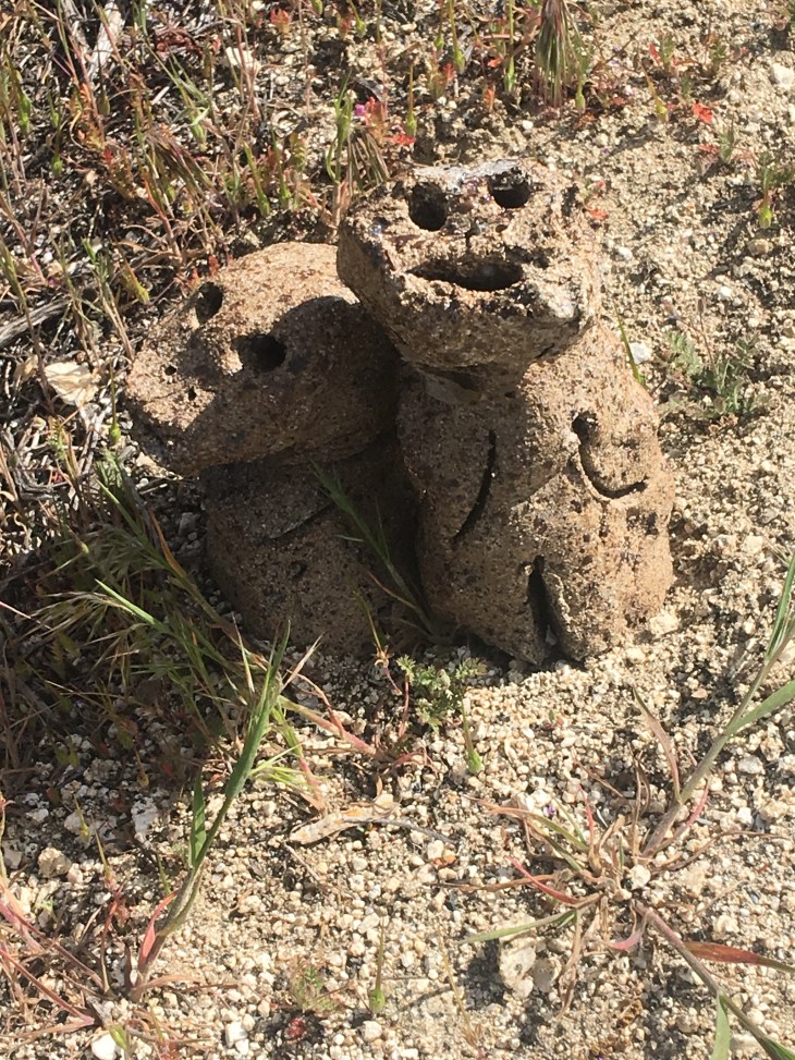
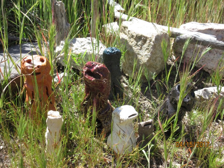
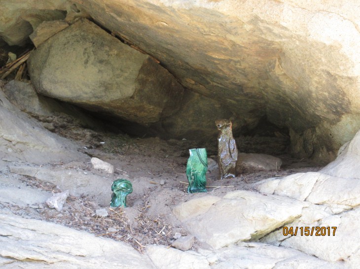
Right before the tunnel we saw some strange clay sculptures in a grouping on the side of the trail. Rob thought it marked a dog grave, but then we saw another grouping of the same sculptures in the Vazquez Rocks area.

6174574336_IMG_04496174574336_IMG_0451

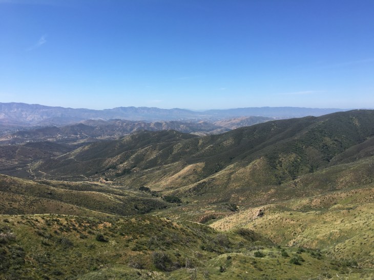
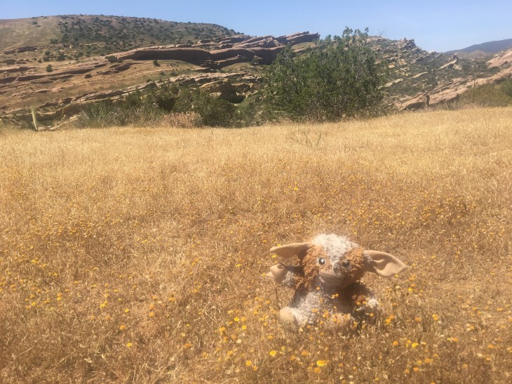
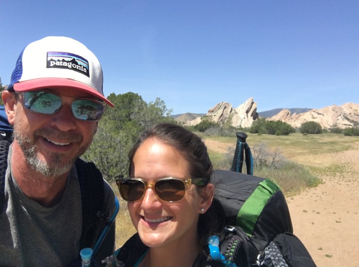
Strange, but I like it! The rock formations in the Vazquez Rock area were really spectacular. We used it as a backdrop for some Gizzie photos.

IMG_56556174574336_IMG_0453

IMG_56566174651056_IMG_04706174574336_IMG_0469

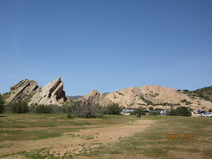
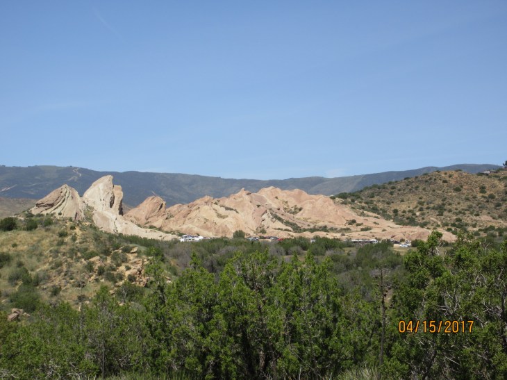
When we approached the main park area we noticed a lot of people milling around so we walked over to see what was going on. We were pretty shocked when we saw there was a band set up, people walking around in costumes and what appeared to be some sort of play. After standing there and looking around at what seemed like a strange scene to stumble upon we realized it’s Easter weekend! We spoke with someone handing out flyers and confirmed that it was indeed an Easter play. Apparently they do a Saturday show that gets about 800 people and a second show Sunday morning at dawn that Is standing room only. Having these huge rocks as the backdrop to their play is pretty unique. I thought a play at 2p in the blazing heat with no shade seemed a little odd as far timing, but the place was packed. From there we went to the information center and looked around at some of the history. Many many movies have been filmed at Vazquez Rocks – planet of the apes, Star Trek, lots of westerns. We also saw our first rattlesnake…in a cage at the center. We know they are around us because people have warned us on trail that there is one around a bend etc, but we have yet to see one ourselves. We got a good laugh out of finally seeing one under those circumstances. From there the trail ran directly through town passing the grocery store and a cafe. We opted to do the cafe and get a salad which we later regretted. They were having some chef crisis and it took 30 minutes to get a salad – with nothing cooked on it. Totally ridiculous. Even more so cause we were trying to eat fast and get to the wineries before they closed at 5. We didn’t even know this town had wineries until we saw a sign advertising one 30 minutes before, but it was pretty clear we were going. When we finally got our food and got out of the cafe we made a beeline for the Agua Dulce Winery. It was terrible. The wine had so much sediment in it and had a very strong alcohol taste. Worst wine tasting ever. We actually gave our red wine back it was so gross. Best part of that place was a guy we met who was in awe of our doing the hike and said he wanted to hike the PCT one day too. We hoofed it down the street a half mile to get to the other winery in hopes it would be better. Thankfully, it was! Not world class wines, but drinkable at least. We had a nice chat about our hike with a woman who lives in the area. On our way out we met another woman who was also applauding us for our hike. Rob is always really careful to say we “made” the time, not “took” the time for the hike. We planned a lot. We ran into so many people today who just loved the fact that we set out to do this. Some say we are their hero. It’s kind of crazy but I guess we made an out of the box move and people recognize it. We were a little tipsy by the time we were done at the second winery and had to decide what to do for the night. Hiker Heaven is a trail angels house a few miles from where we were. It’s supposed to be great. Almost everyone goes there and hangs out, sleeps, does laundry and just generally commiserates. Rob had another plan though. We bought a bottle of wine and then sneakily camped under some trees by the road overlooking the vineyard. It was a great way to end the day.

IMG_5630

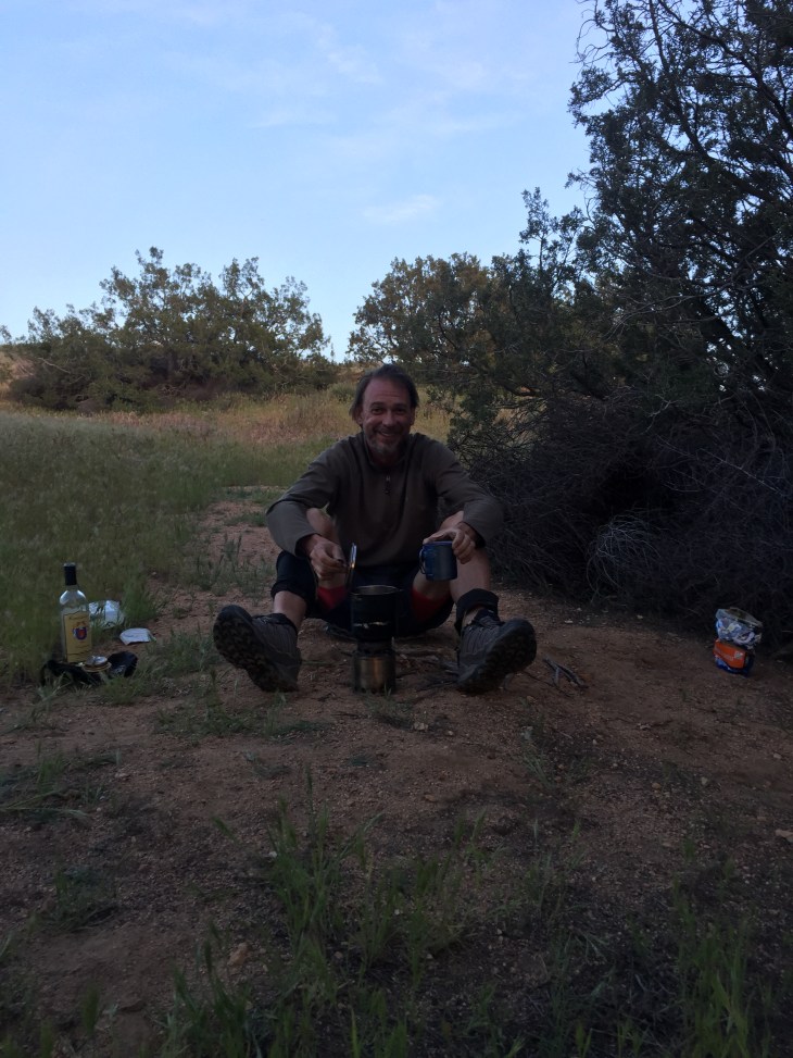
Making dinner in our sneaky campspot

IMG_5660

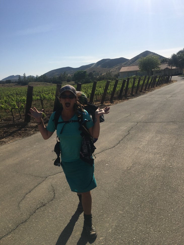
After a little wine…

6174651056_IMG_0471IMG_56596174574336_IMG_0460

IMG_5628

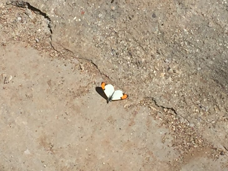
We love these white butterflies with orange tips. We see them all the time in the desert

IMG_5627

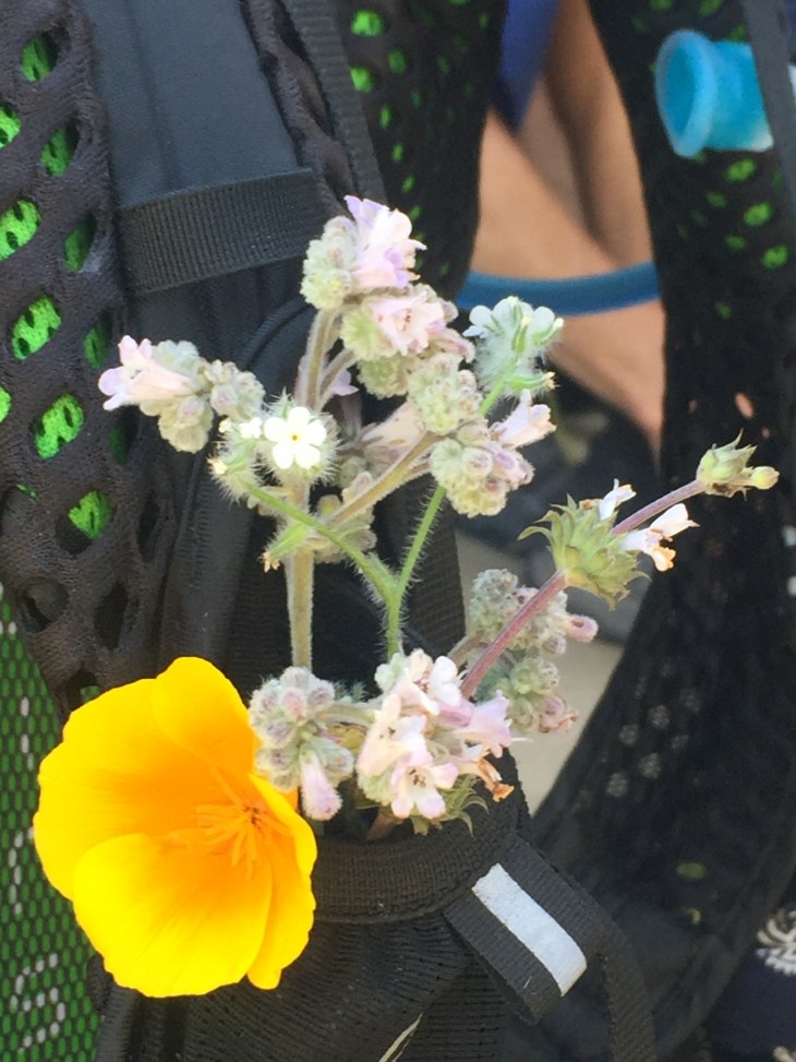
I made a bouquet that I wore in my pack today

6174574336_IMG_0447

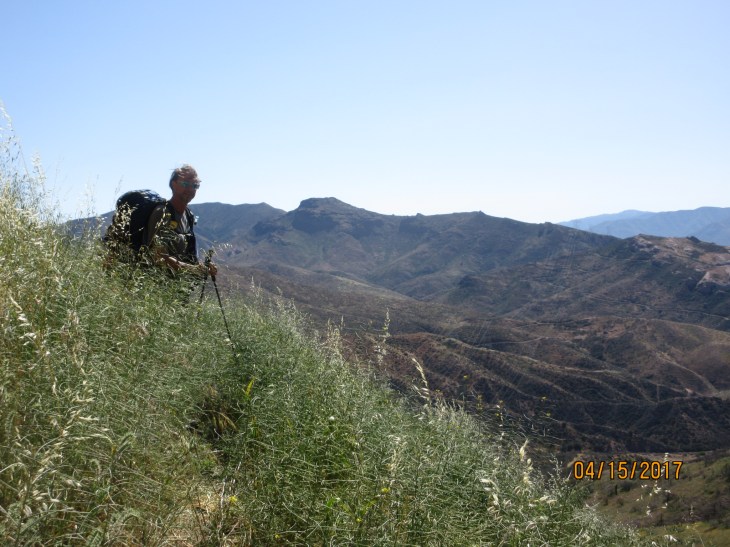
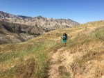
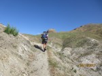
Walking through tall grass

6174574336_IMG_0439IMG_5622

Day 32 Jackson Flat to Acton April 14, 2017

We got up early because we knew the day’s itinerary would be a game of hop-scotch. I had drawn up a semi-elaborate plan to bypass the ice on Mt. Baden Powell, rejoin the trail, take a little hitch around a new fire closure and also loop around a 4 mile endangered frog closure. We started down from the top of the mountain about 2 1/2 miles to my first target area. We were immediately thwarted and my plan out the window when the regular road portion of Hwy 2 was closed due to ice. Using this stretch of Hwy 2 was to be 2 legs of my plan today. One to hike and one to hitch. I noticed a man in his car with a defeated look on his face, furiously looking through maps, likely going through the same thought process I was. “Well… What now??” I introduced myself and, sure enough, he was taking a driving tour of the mountains and now stuck not wanting to backtrack the same way he came in. With the GPS on my phone, I helped show him a desert mountain reroute that might help us both. His name was Collin and he was from the UK. He was up for the plan and dropped us along the highway near Acton. A little local bar provided cheap beer and a cheeseburger while we reset our plans. I really didn’t want to miss the hike up Baden Powell but we are just too early in the season. There were 2 rescues there just in the last few days so we just couldn’t take the risk. We will definitely come back later in the year to spend 2 days on the mountain. We made our way to the KOA campground to spend the night. It is also exactly where the fire closure ends and where we wanted to get back on the trail at the end of my original plan. The KOA was also the home for the night of Hurricane who is from New Zealand and the trio of Woodrat, Galpal and RockDoc. It was a good hot shower for us and a chance to grill for dinner. Lace scored some expensive freeze dried meals from the hiker box for dinners this next week and the KOA has a little store that had a dozen kinds of Hagen Das ice cream which we both indulged in our tent before going to sleep.
Speaking of tents. Ultralight. Ultralight. It’s the way to go. We love ours but didn’t know if a floor space of 50″ x 80″ was going to be too tight for us or not so much. As it turns out, our mattress pads are 25″ wide so they perfectly fill the floor with no cold ground spots. Our tent is basically just a fancy mosquito net attached to a thin floor. It’s zero privacy but the stars n moon view we get every night is worth it. We have only used the rainfly 4 nights of 32. We also picked a model that had 2 side doors. This way we can each get in and out of the tent without disturbing the other. So far it has worked out great. If you’re buying a tent for backpacking, I’d firmly nudge you toward the lightest smallest tent you can afford. A very small footprint also helps you set up in little niche flat spots along the twisty and steep mountain trails like on the PCT. With an added ground cloth, 4 sand spikes, 4 nail spikes and a little extra tie down cord, we still come in under 2 pounds. It’s so very worth the extra dollars to me to carry a pound or two less in base weight.

IMG_5619

That burger was good!