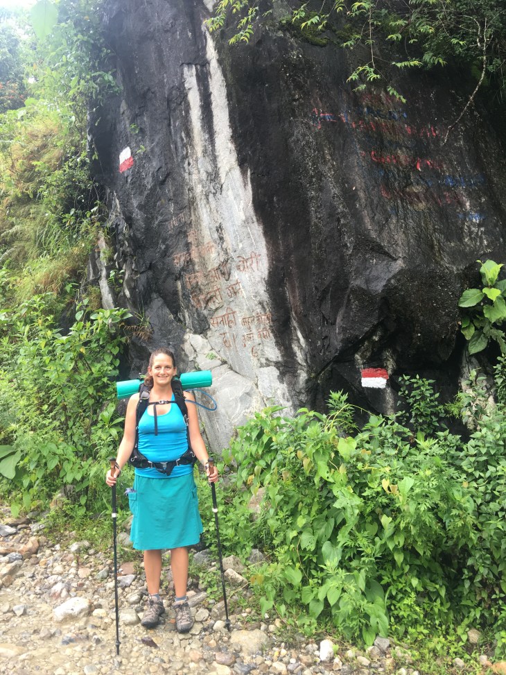
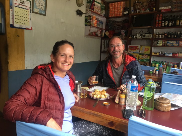
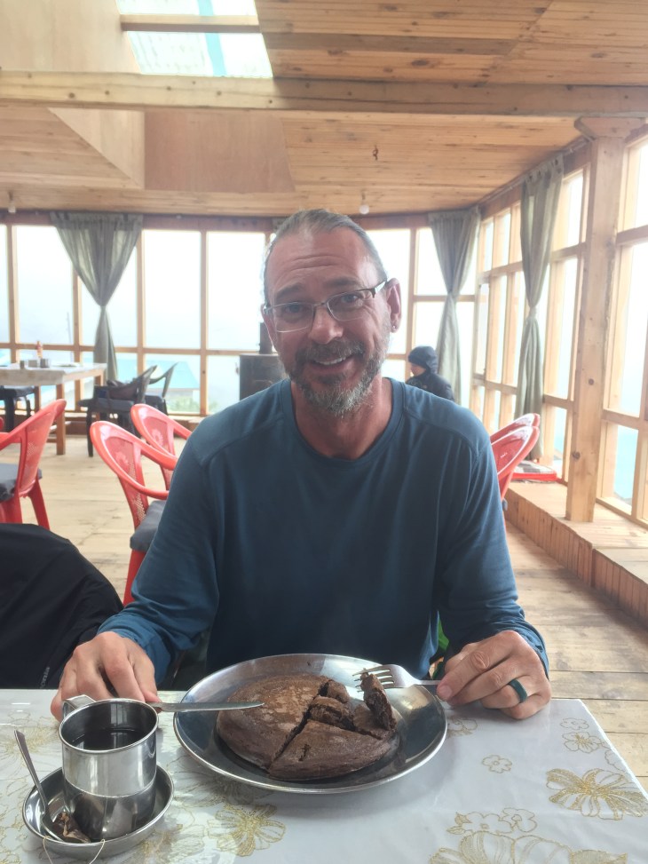
Lacy: Being as we have been off the Circuit several weeks now and are currently in Malaysia, this post is a bit overdue. Apologies for the delay, but this post, while a little long, will tell the tale of how we ended our trek. I LOVED hiking the Circuit. It was so different from anything else we have done. Yes, we hiked 800 miles of the PCT last year, but this is literally and figuratively worlds apart. Passing through Himalayan villages, staying in tea houses, waking up early to catch a view of the magnificent tall mountains, being immersed in a completely different culture and having hot food all day while hiking that we didn’t have to cook are all new to us. I could hike every single day for years on end. It is one of my favorite past times, but even Daddie Gizmo has had enough sometimes and so we ended our hike and spent 4 days in Pokhara before returning to Kathmandu and flying to Malaysia. 💜
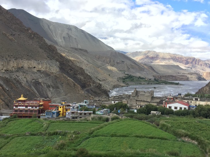
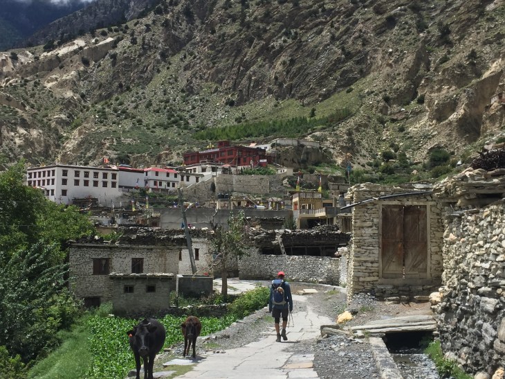
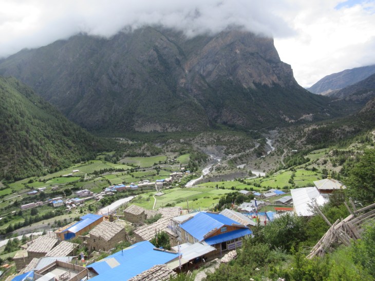
Hiking into Kagbeni, a stunning oasis north of the Annapurna Circuit, housing a Tibetan Buddhist monastery that has been in use for nearly 600 years

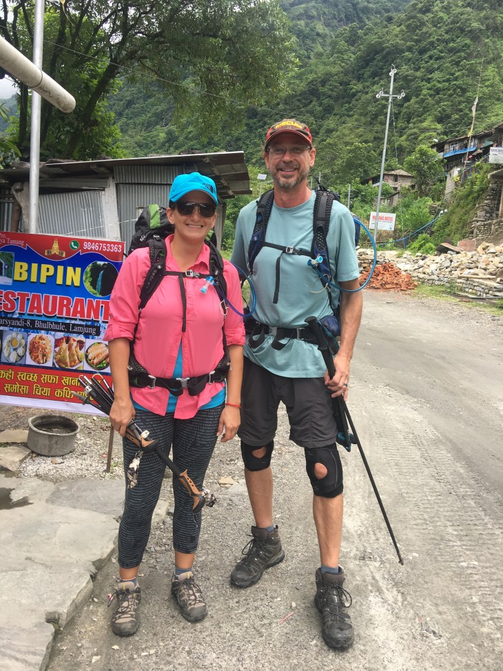
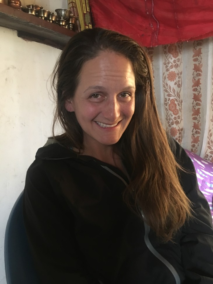
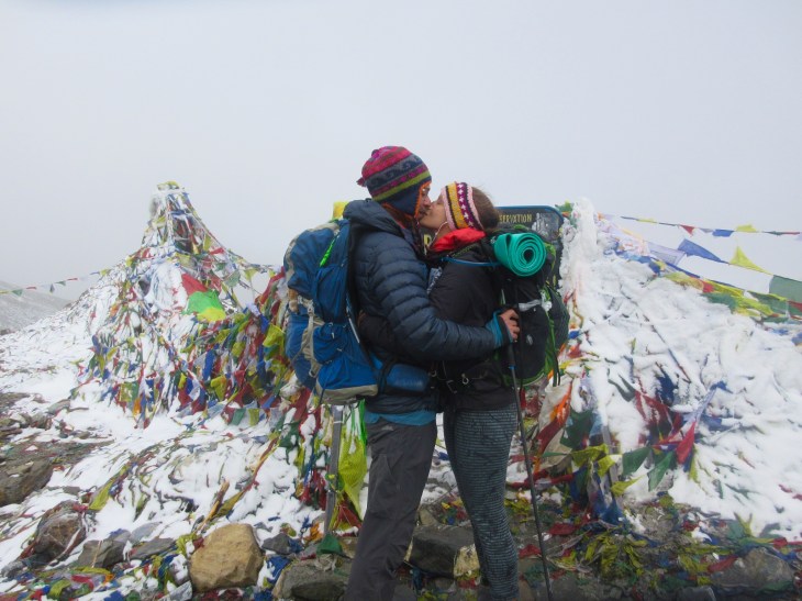
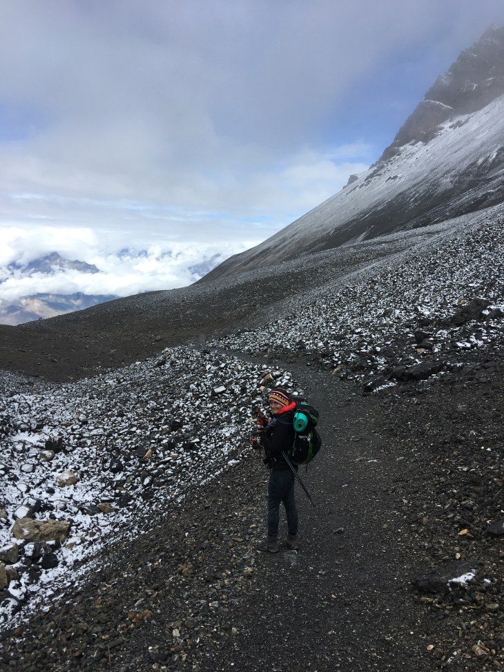
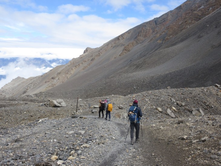
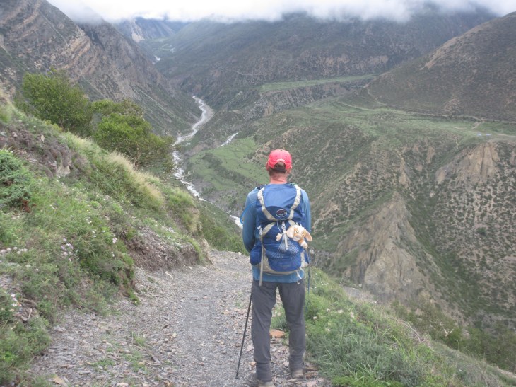
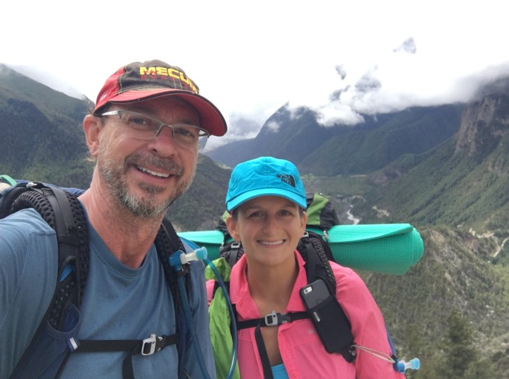
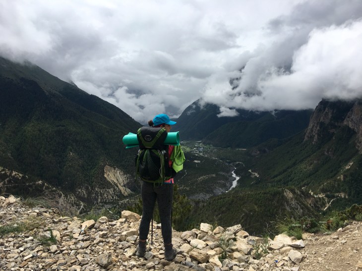
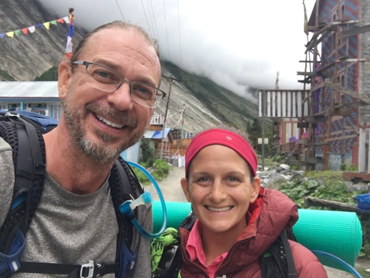
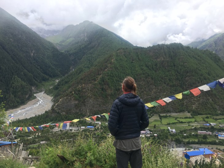
A rare photo of the two of us hiking together that Cristoph took
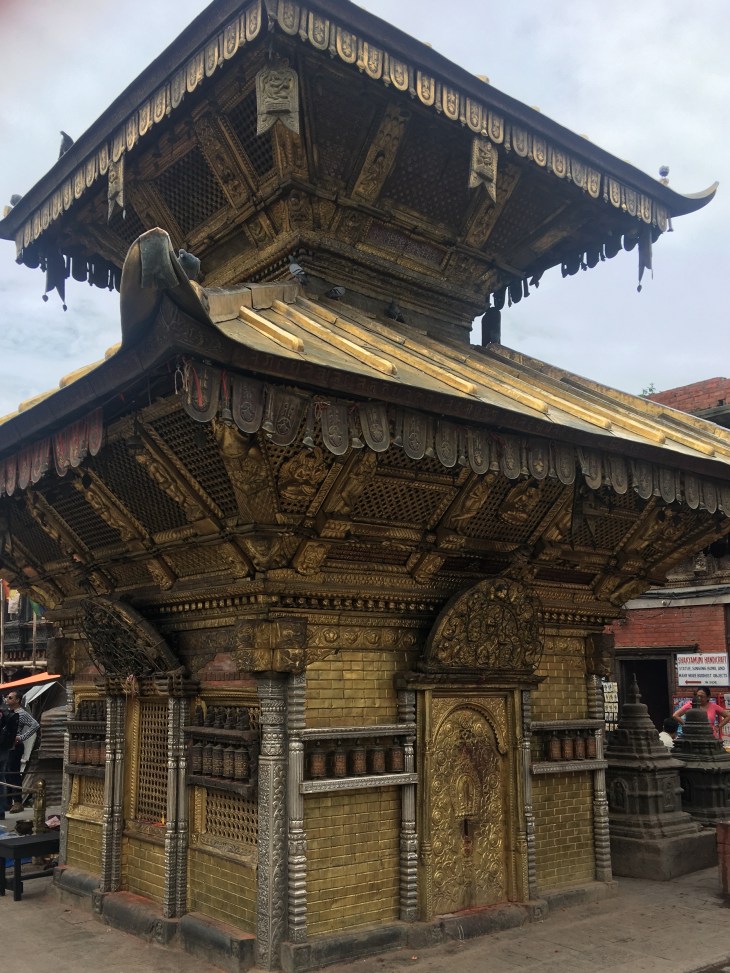
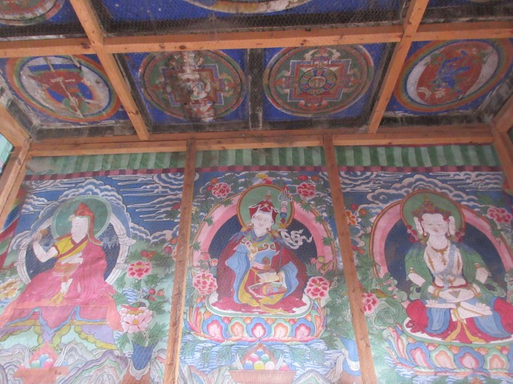
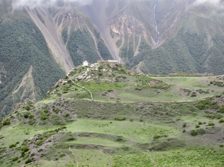
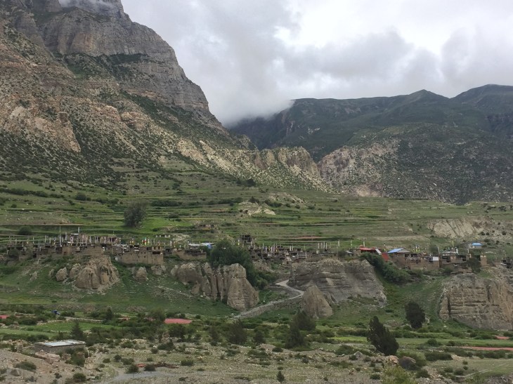
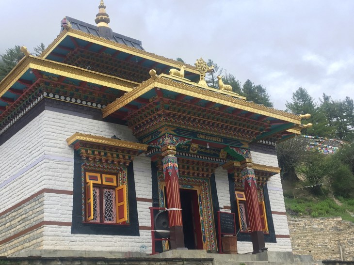
Rob: After spending a few days decompressing in Muktinath we departed for Kagbeni, a Tibetan village in northern Nepal. Over hundreds of years, redrawn boarders, boarders redrawn again and even again, it was never under the rule of China. Nepali and other cultural influence have also been minimal because of the remoteness of the village and the presence of a 585+ year old Tibetan Buddhist Temple & Monastery that is still in full use today. So… it’s said that it is as close to a purely Tibetan village as it can be, even inside of Tibet. If you purely view the oldest part of the village and Temple, I can definitely understand why. It is, however, attached to a typical mountain Nepali village that caters to trekkers from near and far. The authentic and amazing old village has doorways that are all wooden, about 5 feet tall at most, and connect a warren of stone tiny alleys that connect multiple layers of homes and barns as one contiguous structure. Windows have tiny intricately carved wooden shutters used like vents. Rain cleans the pathways downhill to the river and fills the rice paddies, local gardens and apple orchards that are all woven together in a lush oasis tucked in a tiny river valley high up on a very, very barren mountainside. I’ve used the word charming once in my life before at some point, I’m certain, but it’s also very descriptive of Kagbeni. We enjoyed a full day’s rest, Yak Mo-Mos (dumplings), the local Raksi and sitting in on afternoon Prayer time with the young Monks of the Monastery. Lacy says Kagbeni is probably her favorite Nepali village of the entire circuit.
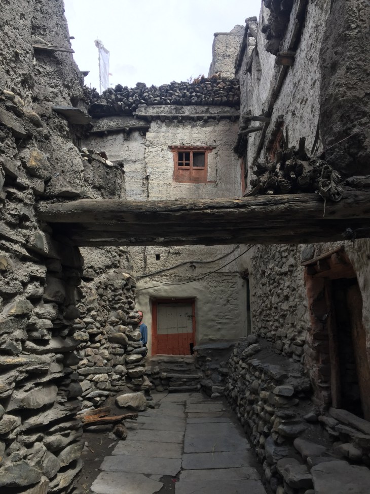
Stone alleys in Kagbeni
Lovely views in then Tibetan village
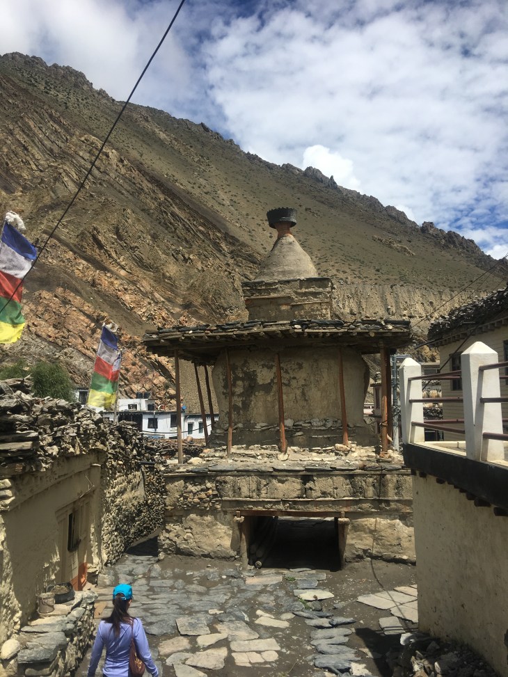
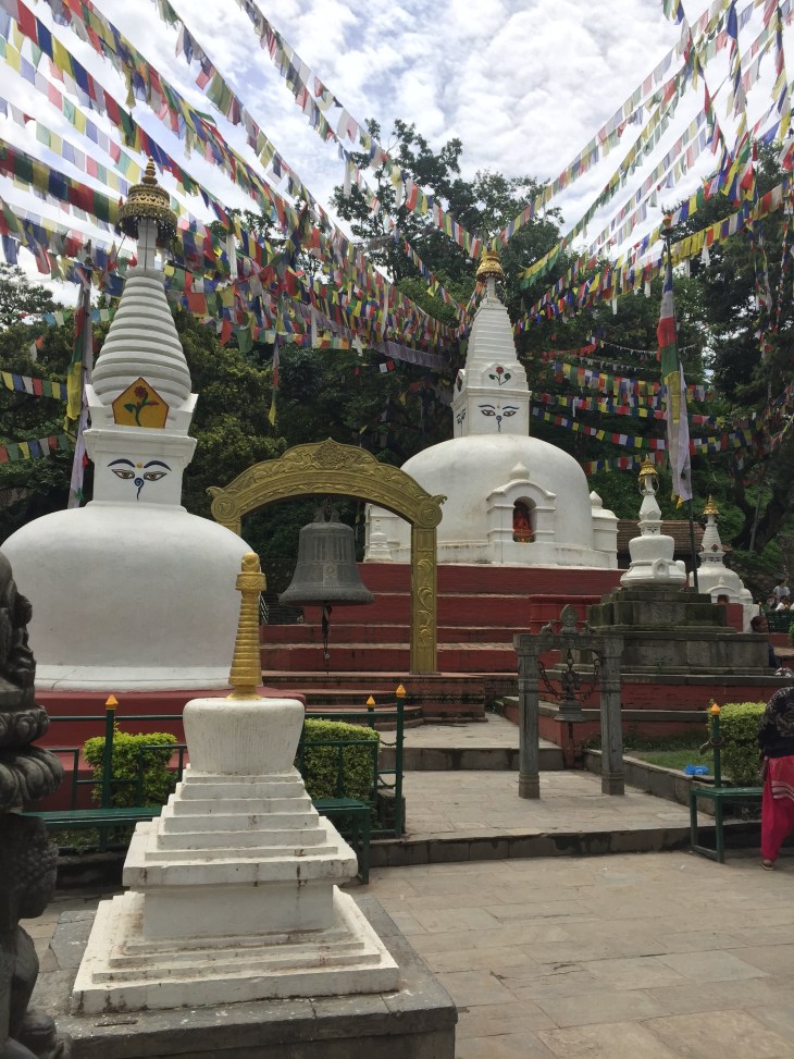
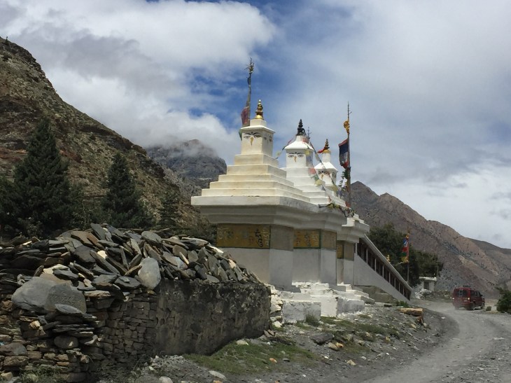
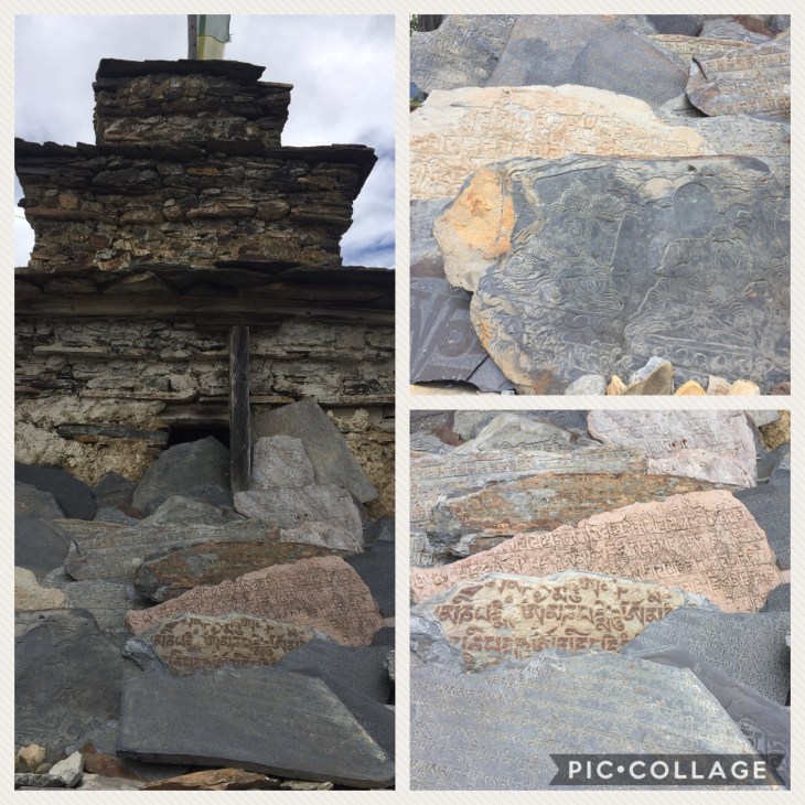
Very old stupa at the entrance to Kagbeni…

With beautifully painted interior
Thongba!
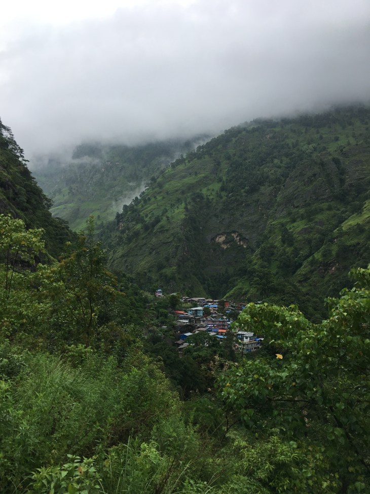
Entering Marpha

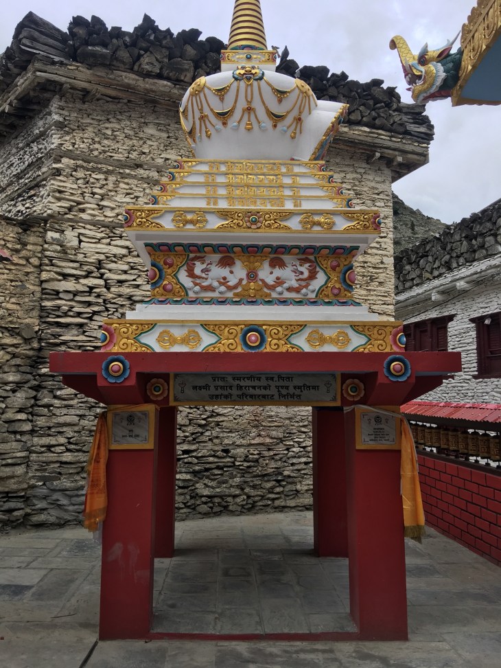
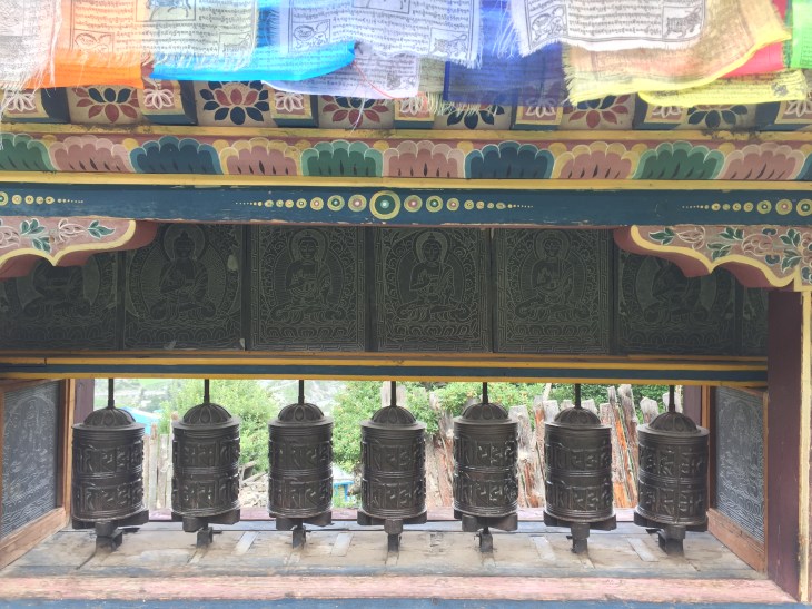
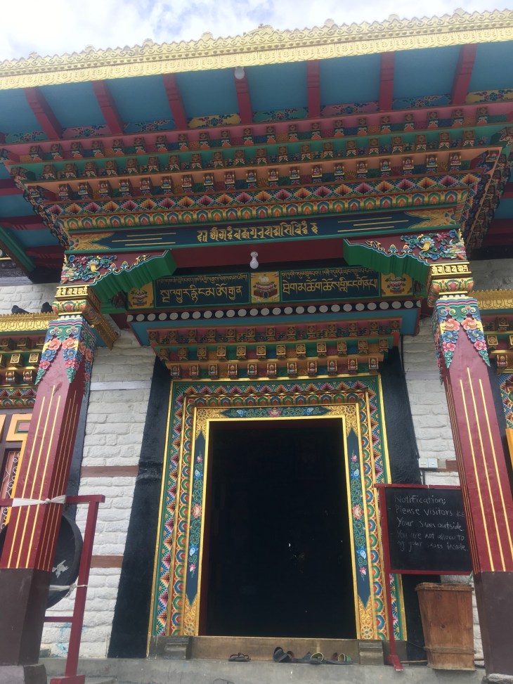
Visiting the local monastery

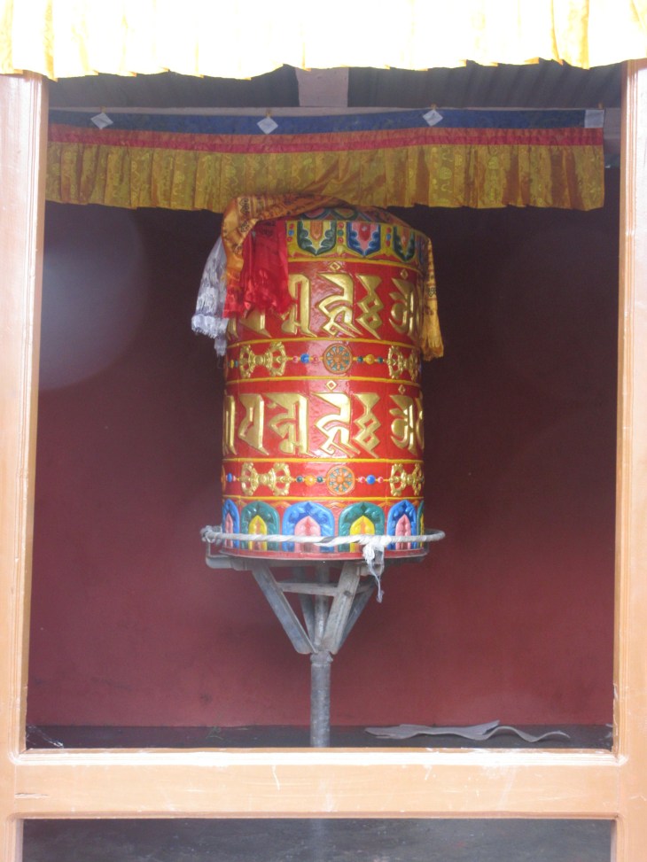
Prayer wheels up the stairs
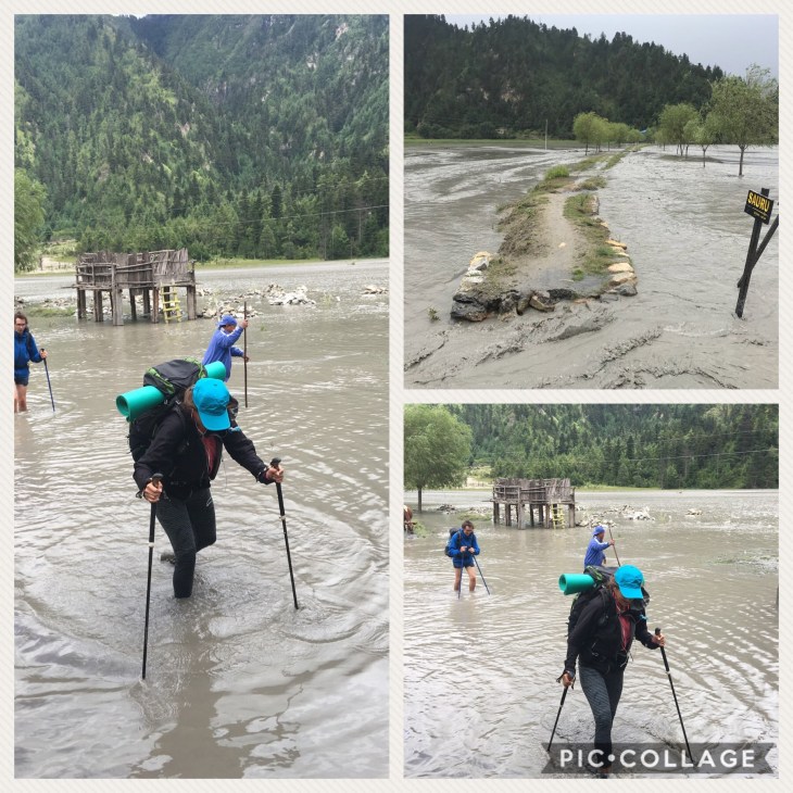
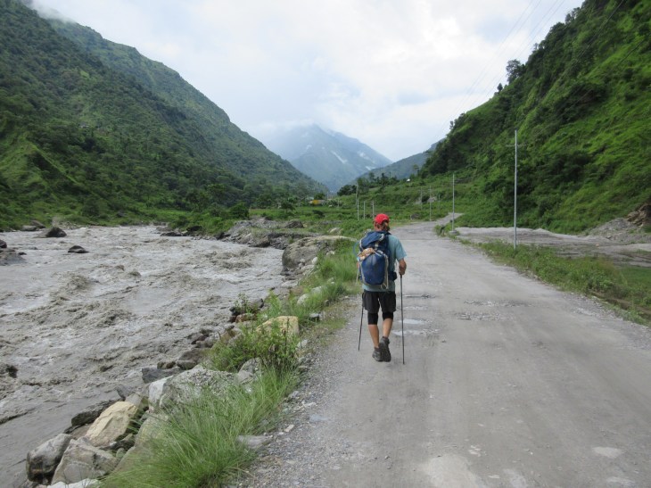
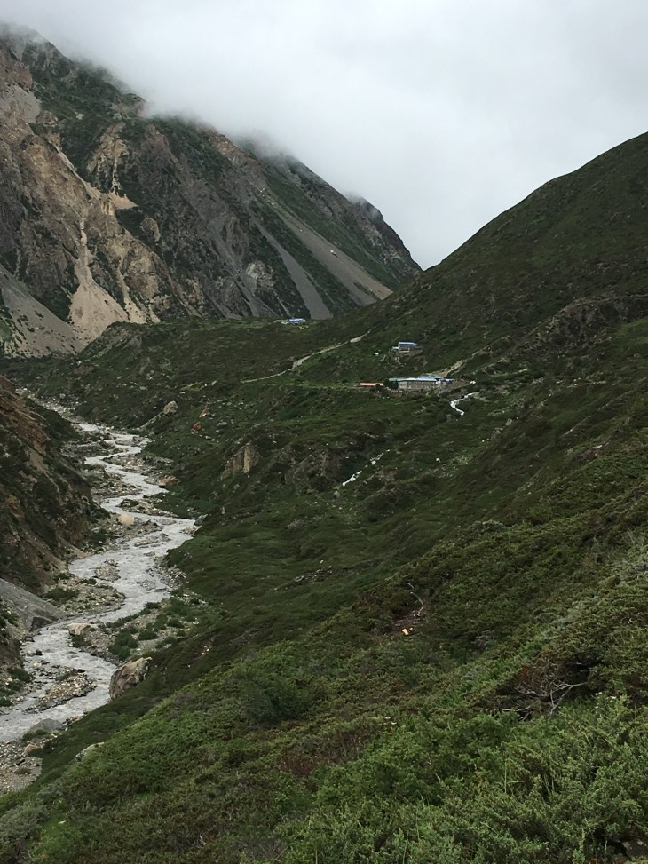
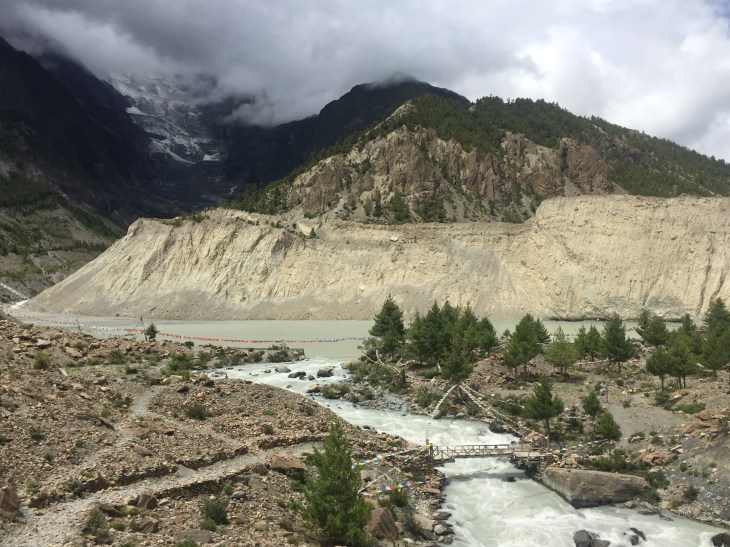
Trail washed away in monsoon season


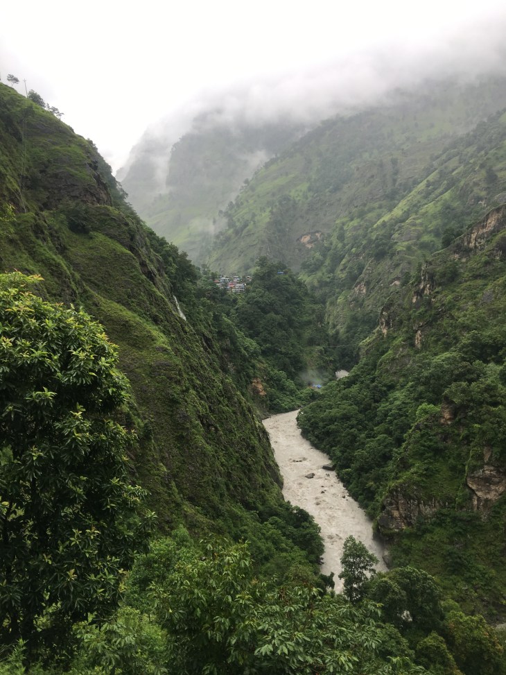
This is the main road that is completely turned to a river. I later saw a man using the running water to clean clothes in what is normally the road!
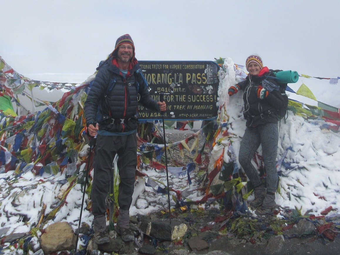
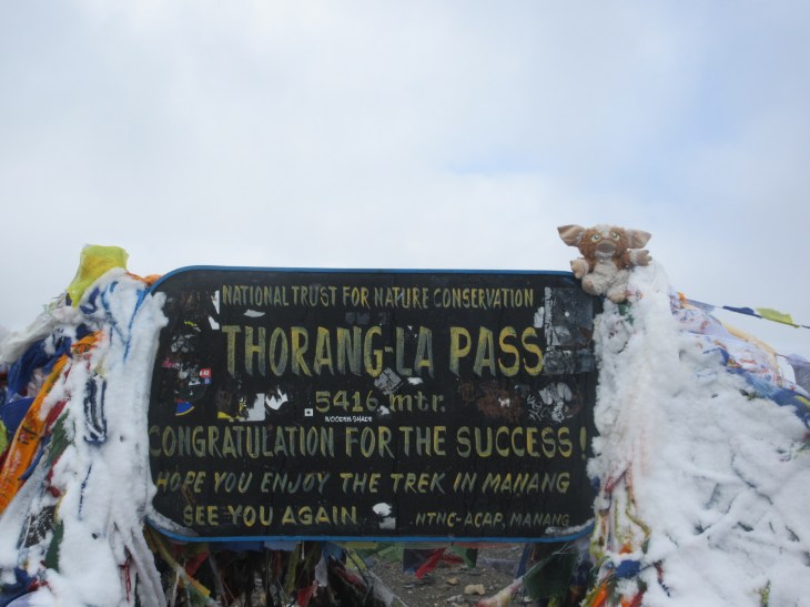
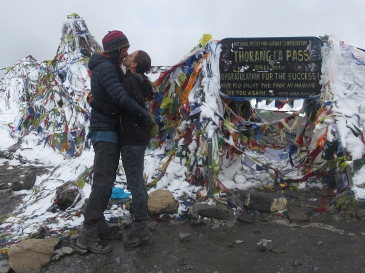
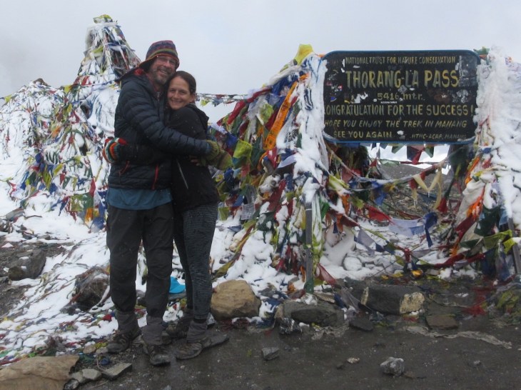
The recent week, climbing up and down Tilicho Lake and then further up and though Thorung La Pass, were a natural wind down from so much physical and mental work to accomplish the first 3/4 of our trek. Even so, I still felt the abruptness of the end of our trek as I put on sandals in the morning versus our routine of sock liners, socks, gaiters and hiking boots. It was a strange feeling as we had only decided the night before to end our circuit trek . I could also feel even more of the same coming from Figure 8 who would now go back to being Lacy by name as we were finishing the trail. After 22 days, our boots could dry and our bodies could rest but our emotions were still not ready to end our experience.
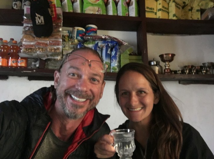
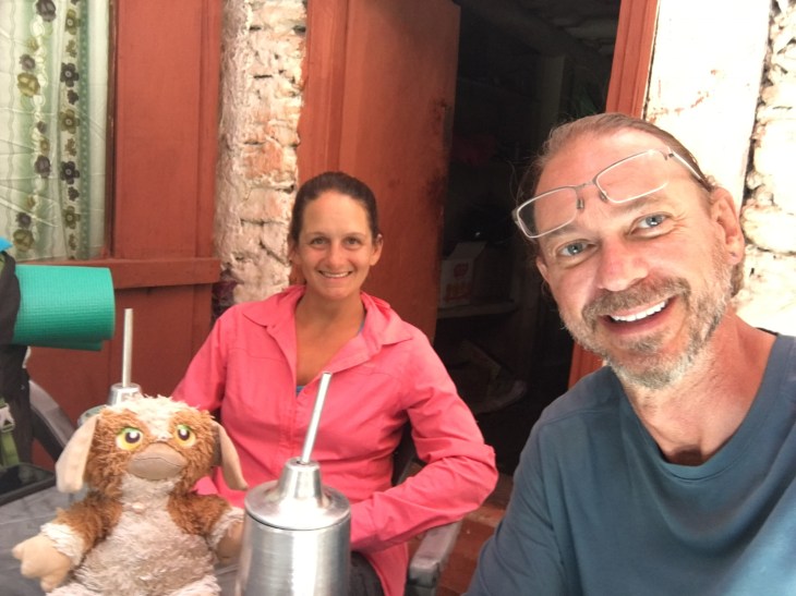
Me and Ryan while we wait for the road to be rebuilt so we can pass. The four of us enjoyed milk teas to pass the time
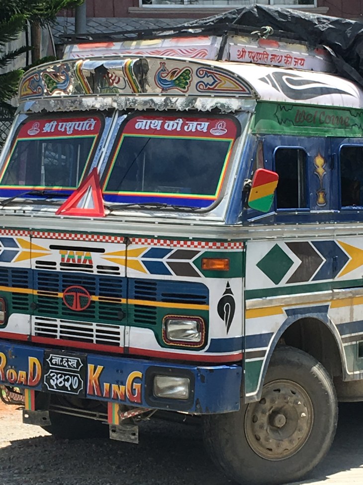
The Tata truck being pushed out of its mud hole while we all look on. Note how close we are to the river edge. All this crazy driving has been going on mere feet from rolling into the river.
A glimpse of the insanely muddy road we bumped along on down the mountain
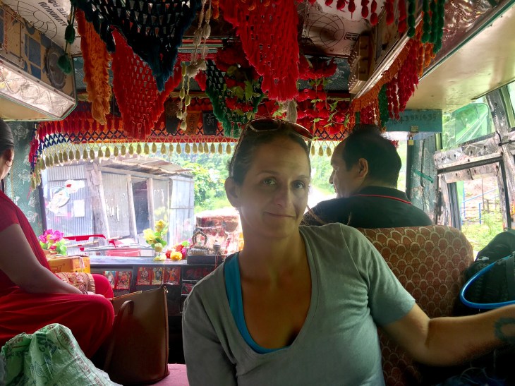
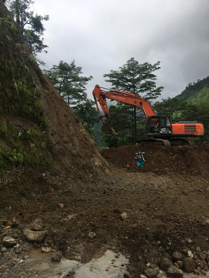
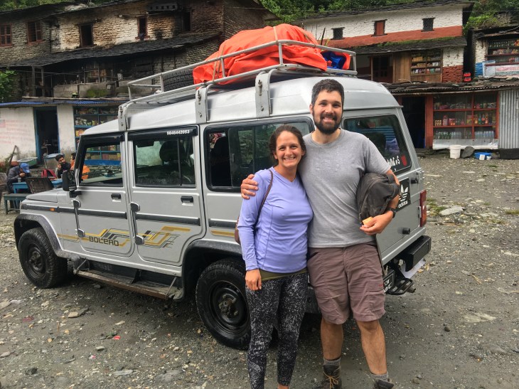
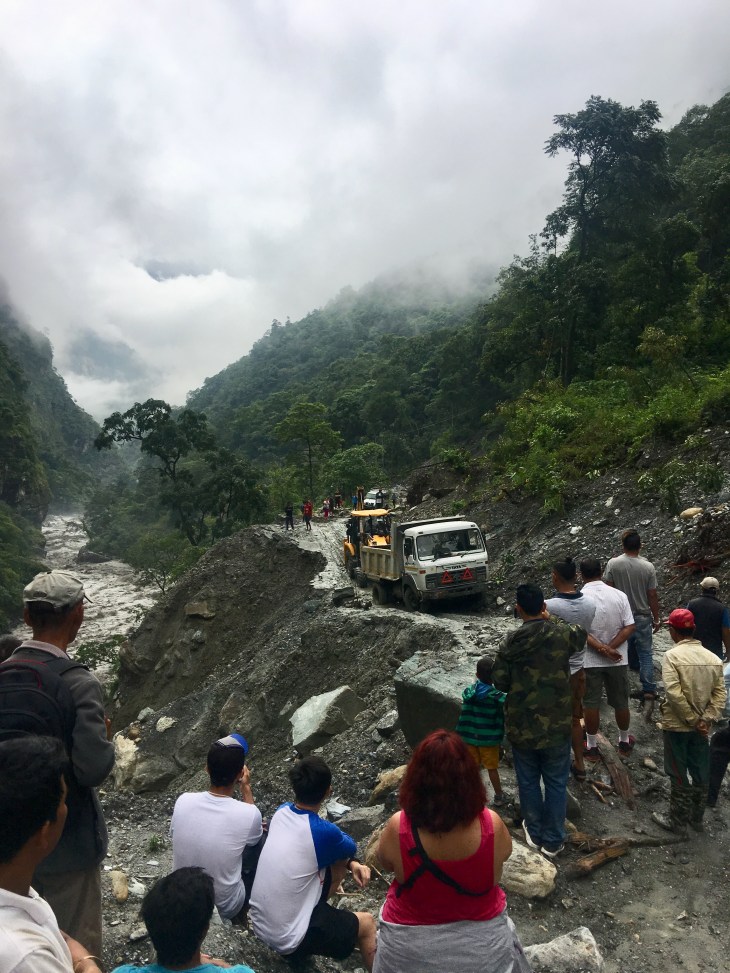
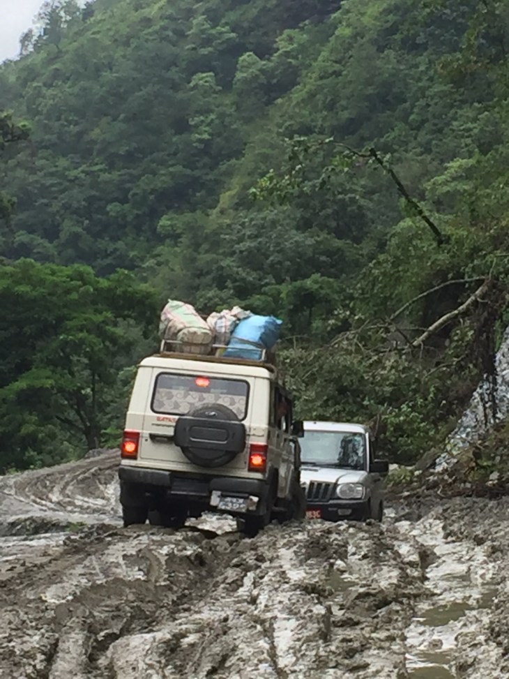
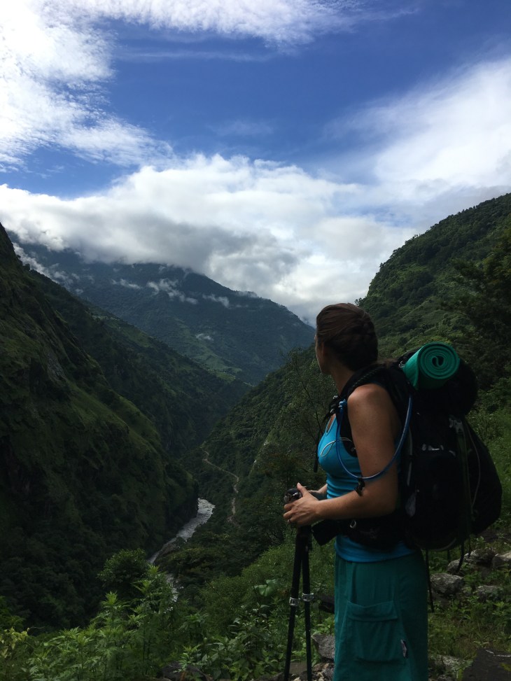
The Jeep ride to Pokhara with Ryan, Meg and 4 other passengers and driver would also be a memorable experience & E Ticket Ride. The first 4 hours were spent slogging through muddy roads rutted by tractors and huge 4 or 6 wheel drive Tata Trucks especially designed to travel just about anywhere. The Jeep, with all 9 of us crammed inside, negotiated these 3 foot deep ruts, big rocks and flooded roads better than you would believe if you were challenged with the same obstacle course yourself. Important to note is that we are doing all this insane Jeep driving while on the side of a mountain overlooking the river we have been hiking along. Lacy had some serious nerves as the Jeep approached the edge of the road that naturally has no guardrails. We forded several deep streams with water splashing into the open windows and over the hood. That really seemed easy compared to the continual rock and mud crawl that we swerved along in the totally destroyed road for hours on end. We had to stop twice for bulldozers to create a path through the rubble and mud. Once we topped a small hill only to see the front end of one of the tank-like Tata trucks on the opposite side that was hopelessly buried in mud and had lodged itself into a spot between piles of rubble a foot or so too small for its wide body and huge tires. I watched a bulldozer approach from behind the truck to see how it might go about pulling it back, digging around it or what the plan might be? First, I was curious and second, I was selfishly trying to gauge how long this extraction might take. To my surprise (or maybe not) the dozer never slowed down and instead hit the back of the Tata with enough force that they both pushed through the thick mud and rubble and right across to our side of the road. The Tata sped on. The dozer dragged a little mud to the side. We all hopped back in the Jeep and we were off on our crazy ride again. We only had to climb out of the Jeep and all push us through the mud (that was a cross between wet cement and peanut butter consistency) one time. I was truly impressed with our driver. When we finally reached Pokhara some 8 hours later I resisted the urge to give him a hug and just shook his hand. We were safe and sound. Back on terra firma, we had completed a full circle of the Annapurna Circuit.
 Lacy: Today was the day!
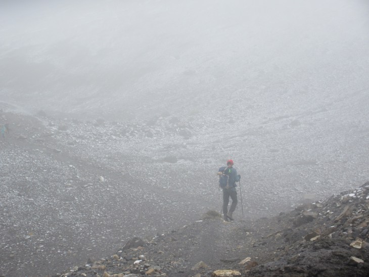


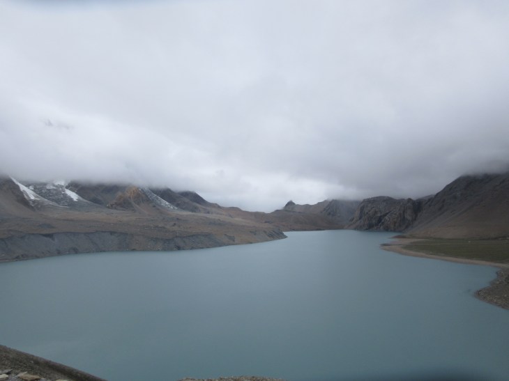


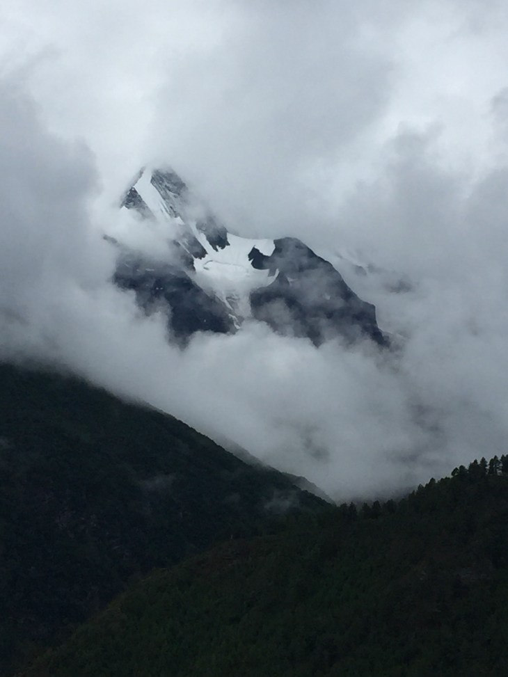
 Lacy: The alarm went off at 4:45 this morning and I immediately felt defeated when I heard the rain and saw all the clouds. Why?! We kept checking every 30 minutes and could actually see the Himalayas more than any other day here, but it was still raining. At 8am the rain slowed to a drizzle and we agreed to head the 2.5 hours and nearly 3,000 ft straight up the trail to the lake. I have to admit, my heart wasn’t in it when we set out. I felt a bit defeated by the rain and clouds and didn’t expect much of a view. Silly me, I had let myself build up expectations and now I expected to have them crushed.
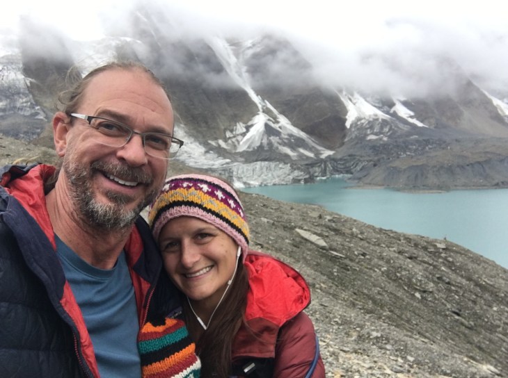


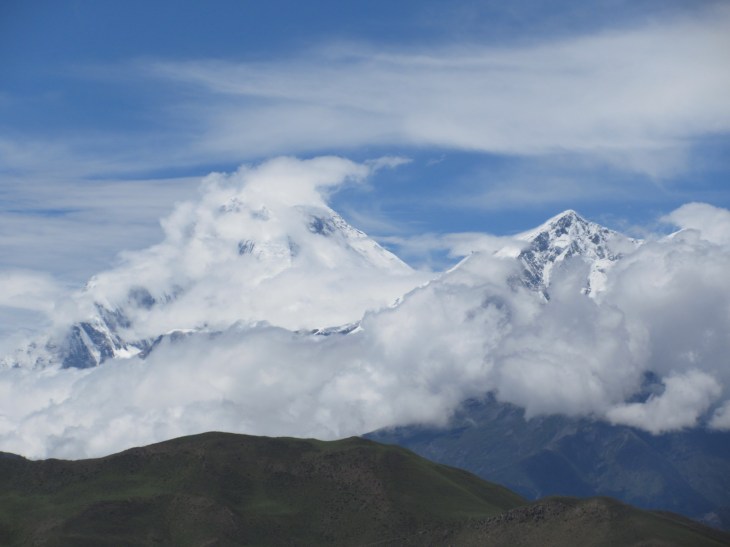
 Rob’s intro: I would hope that if someone sets out the trek the Annapurna Circuit in the Himalayan Mountains of Nepal, which includes Thorung La Pass (one of the highest mountain passes in the world) and also traditionally includes a side trip to Tilicho Lake (one of the highest lakes in the world), it shouldn’t be your first rodeo.


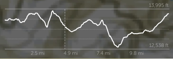
 Day 2 Stats:
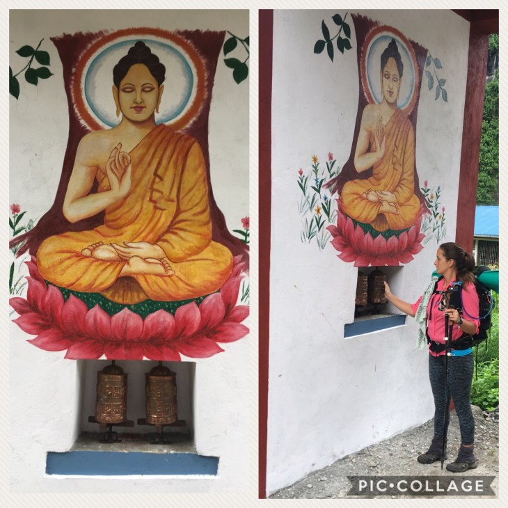
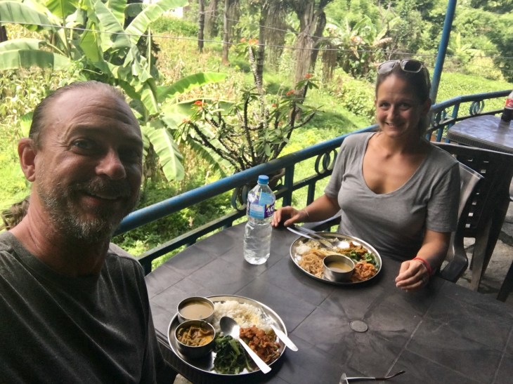
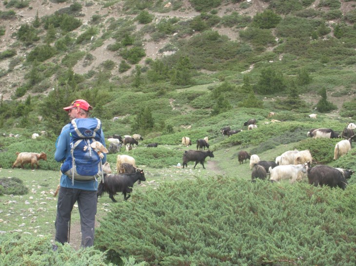
 Lacy: We have developed a really good rhythm in just 3 days. We wake up between 5:30 and 6am, have our oatmeal breakfast with black tea at the teahouse and begin hiking by 7. It hasn’t been raining at all when we start and we arrive at our target village each day by 3 at the latest to avoid the afternoon showers. We ask for our dinner of Dal Baht to be served at 5-5:30 because we are normally starving from lunch at that time and ready to eat and go to bed! Typically, we are asleep by 9. Back to a good sun schedule! Aside from the first day, we have found a teahouse and settled in just in time for the first sprinkles to begin. Our stride is strong as we have gained 6,000 ft in 3 days and 36 miles. We had 2 separate guys wave us ahead of them and say we are fast. We don’t feel we are going very fast, but it’s always nice to hear. This last morning we gained 1,600 ft straight up from the teahouse and I was moving slower than my normal pace. Rob called me “slow poke Rodriguez”. Maybe it’s the altitude, but maybe not because Rob is a beast and moving right along. Our spirits are very high even though Rob has been struggling with an upset stomach for days. That’s a real bummer anytime and especially when hiking. I feel for him.


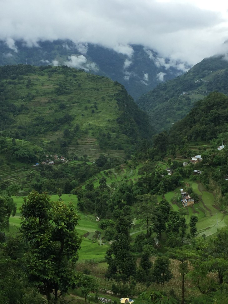
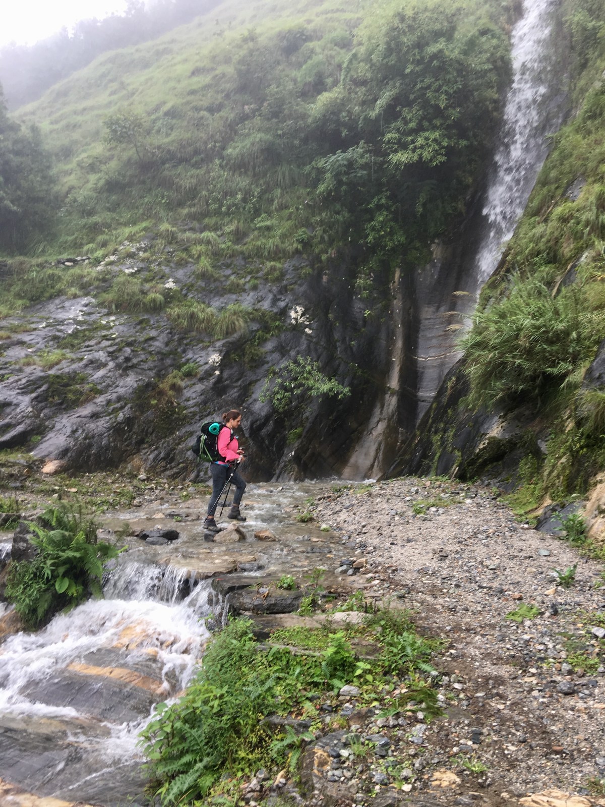
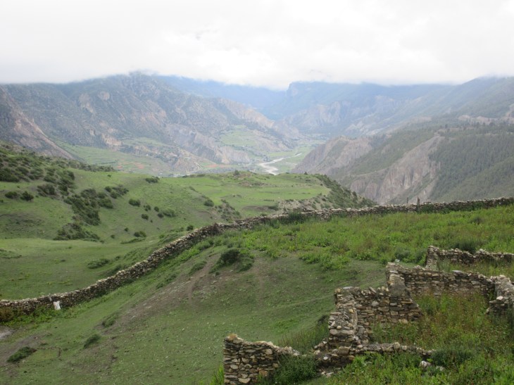
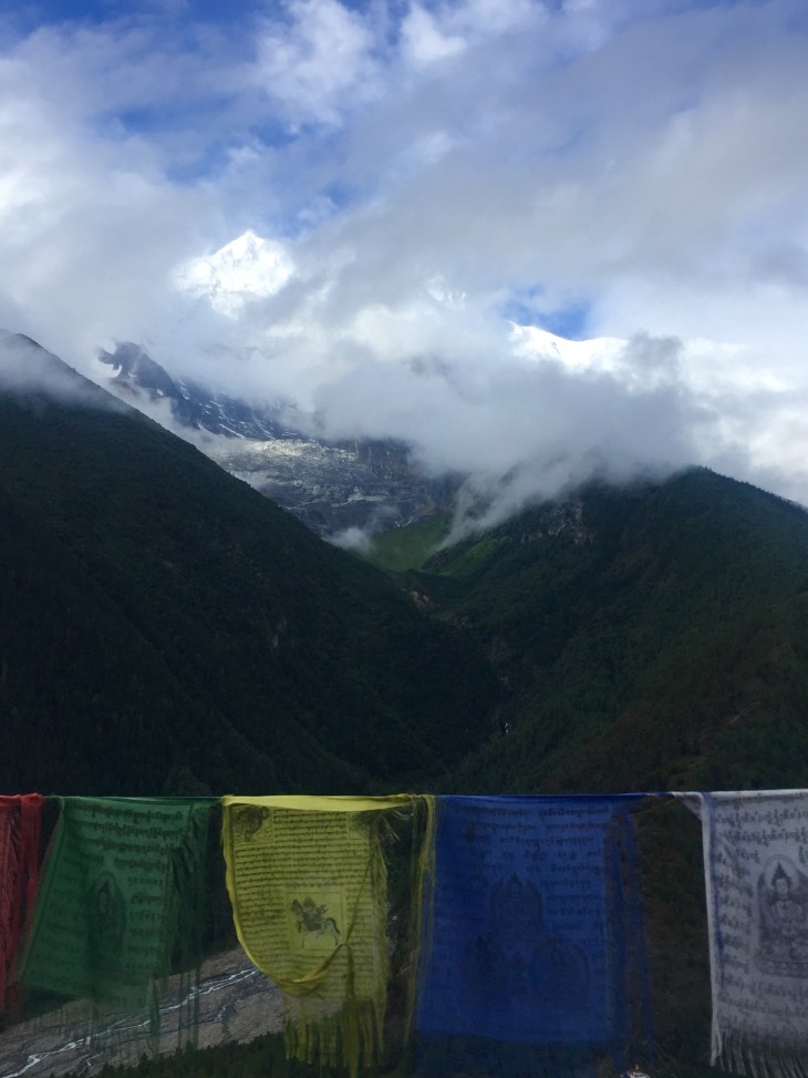
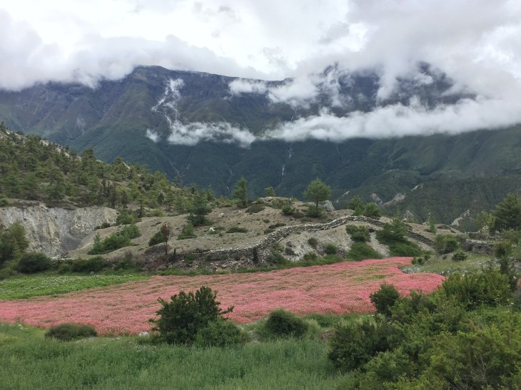
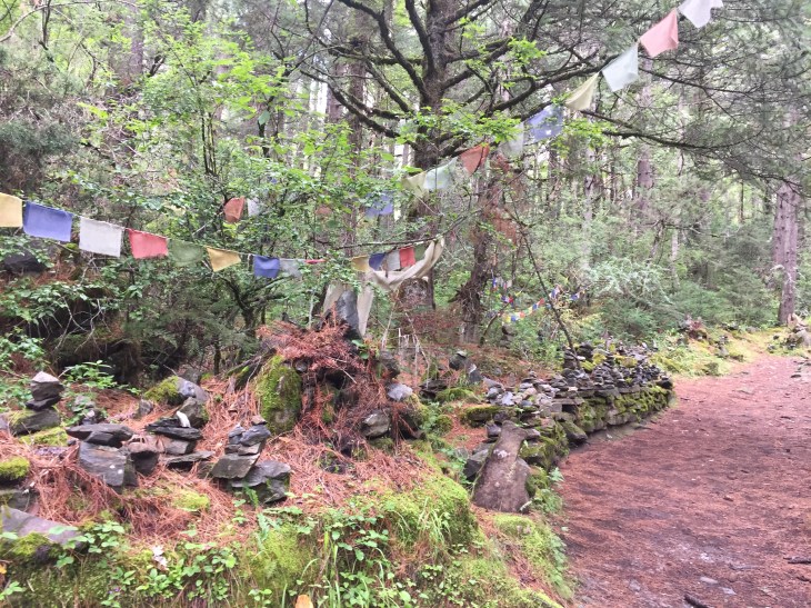
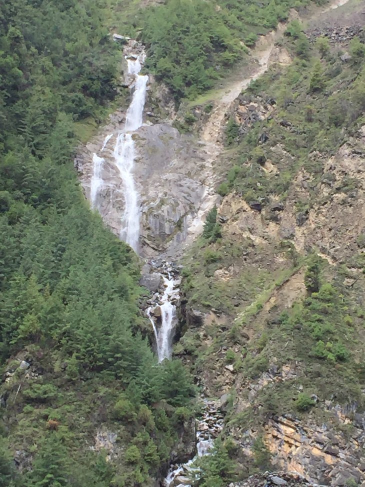
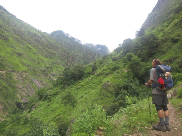
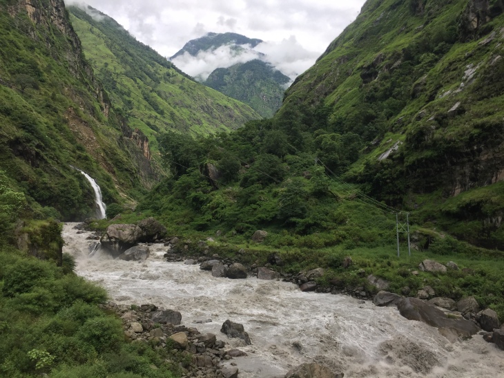
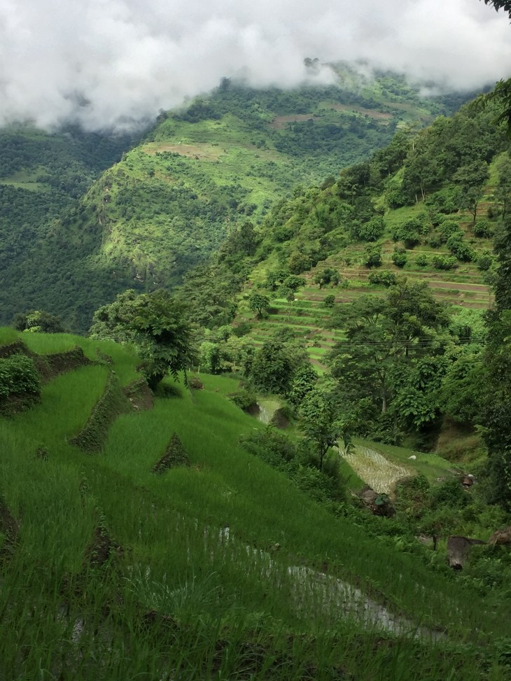
 Today our hike began in the lush waterfall landscape we have been in the last 2 days and then we entered a forest covered in moss, ferns and lichen that reminded us of hikes in California. Emerging from the forest, we changed landscapes again into a mountain countryside of evergreens and exposed mountain rock that made us feel as if we were in Colorado. Days like that when you pass through so many environments are really special. This whole experience has been so special. The people are very nice. The Didis at the teahouse make us delicious meals and are kind. Gizmo is enjoying the view and all in all, we are happy as clams.


 Day 1 Stats: